
In Labyrinth, where drones will fly in very low-level altitudes, a key factor is having a description of the environment, including the location of buildings, trees, street furniture or lampposts. This not only helps to prevent collisions but also allows the flight path optimisation before the flight.
The main source of information to identify the position of those elements are the elevation maps. In that sense, LABYRINTH has received the invaluable support of a couple of entities, the Instituto Geográfico Nacional and the Institut Cartogràfic i Geològic de Catalunya.
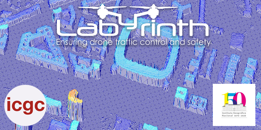
At LABYRINTH we are using Digital Surface Models – DSM elevation maps thanks to these entities that make these maps freely available on their website. These maps have a transversal impact on the project. At the moment they are being used in WP3 so that UC3M can use them in its algorithms. Once the web applications are ready, these maps can be used in WP6 so that the drone pilots have a detailed description of the environment and they are also key in WP7, to carry out the validation of the use cases that are made in Spain.
We look forward to keeping and starting more of these fruitful synergies that will contribute to obtaining the robust results required to provide the expected benefits for society.
